|
Airport Communications CTAF/Unicom: 123.07 WX AWOS-3: 121.12 (979 836-2303) * APCH/DEP SERVICE PROVIDED BY HOUSTON ARTCC ON FREQS 120.4/371.9 (College Station RCAG)
Nearby radio navigation aids VOR radial/ distance VOR name Freq Var TNV r248/16.9 Navasota VORTAC 115.90 05E IDU r024/18.5 Industry VORTAC 110.20 05E CLL r166/23.3 College Station VORTAC 113.30 05E ELA r347/33.5 Eagle Lake VORTAC 116.40 05E
Runway Information
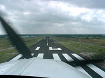
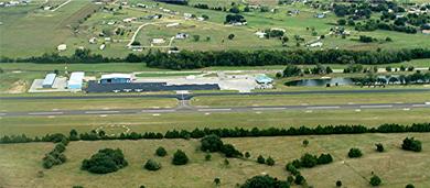
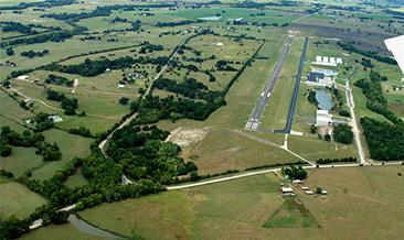
Runway 16/34 Dimensions 6003 x 75 ft. / 1675 x 23 m Surface: asphalt, in good condition RUNWAY 16 RUNWAY 34 Elevation: 318 ft. 269 ft. Traffic pattern: Left Left Runway hdg.: 165 magnetic, 170 true 345 magnetic, 350 true Markings: nonprecision, in good cond. Nonprecision, in good cond. Visual slope indicator: 2-lt. PAPI on left 4 lt. PAPI on left (3.50 degrees glide path) Runway end identifier lights: yes yes RWY 16: Obstruction 24 ft. tree 1000 ft. from rwy., 170 ft. right of centerline, 33:1 slope to clear RWY 34: Obstruction 37 ft. tree, 950 ft. from rwy., 300 ft. right of centerline, 20:1 slope to clear
FBO, Fuel Provider and Ground Support Southern Flyer 979 836-5462 After hours available for a fee & advance notice. Emergency and after hour numbers for airport related matters only: 979 836-1984 or 979 251-2793.
|


|
FAA Identifier: 11R Lat/Long:30-13-08.400N / 096-22-27.400W Elevation: 308 ft. / 93.9 m (surveyed) Variation: 05E
|
Airport Information |
|
|
|